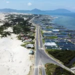
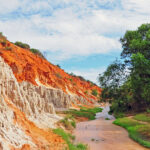
Standing majestically along the coastal road connecting Dak Lak and Khanh Hoa, Da Bia Mountain rises like a towering pillar, a testament to nature’s power. It’s an ideal destination attracting tourists who love exploration and conquering mountain peaks.
Overview of Da Bia Mountain
Da Bia (Vietnamese: Đá Bia) Mountain (also known as Thach Bi Mountain) is one of the prominent scenic spots in eastern Dak Lak (formerly Phu Yen). The mountain is located in the Deo Ca mountain range, near Dai Lanh Cape, which is considered one of the earliest-sunrise spots on the Vietnamese mainland. With an altitude of approximately 706 meters above sea level, Da Bia Mountain impresses not only with its height but also with its unique shape and historical significance.
According to many historical documents, in 1471, after expanding the territory southward, Emperor Le Thanh Tong had inscriptions carved onto this rock to mark the border of Dai Viet (the old national title of Vietnam from 1054–1400 and 1428–1804). Although the inscriptions are no longer clearly visible due to time and weathering, the story still contributes to the historical value and symbolic significance.
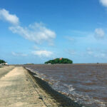
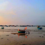
During the resistance war against the US, Da Bia Mountain was also an important revolutionary base, with the legendary Vung Ro wharf to the east, where the “No-Number Ships” docked.
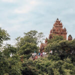
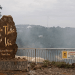
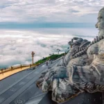
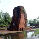
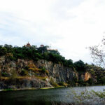
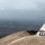
The most distinctive feature of Da Bia Mountain is the giant rock formation perched precariously on the mountaintop, resembling a natural monument standing upright in the open air. This rock is about 80 meters high and can be seen from tens of kilometers away, especially when traveling through the Ca Pass. This unique shape gave it the name “Da Bia” (Stone Monument) and made it a prominent natural landmark of the province
In September 2008, the Ministry of Culture, Sports and Tourism issued a decision recognizing this unique scenic spot as a national scenic site.
Experience conquering Da Bia Mountain
Exploring Da Bia Mountain is not simply a mountain climb but a journey that combines physical activity, nature experiences, and the enjoyment of unique scenery. To make the trip complete, you should have a well-planned approach from preparation to the journey and enjoyment at the summit.
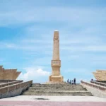
The starting point is located at the foot of the mountain on the west side, along National Highway 1. The path is unique, 2.5 km long, featuring 3 reinforced-concrete staircases, one of which is steep at 45 degrees; the entire route has 2,071 steps, some of which were carved and set with cement mortar on the sloping rock.
First and foremost, choosing the right time is crucial. You should start your journey early in the morning to avoid the harsh sun and enjoy the fresh air of the mountain forest. This time of year also gives you the chance to watch the sunrise or chase the clouds if the weather is favorable. Avoid climbing at midday or in the rain, as the path will be slippery and you’ll quickly lose energy.
Next is personal preparation. A pair of athletic shoes with good grip is almost mandatory, as the trail has many rocky steps and steep slopes. You should bring enough water, some snacks to replenish energy, and essential items such as a hat, sunscreen, and a towel to wipe away sweat. Clothing should be lightweight and breathable for easy movement.
When you start climbing, maintain a steady pace instead of going too fast. The beginning is quite easy, but as you climb higher, the slope increases, so managing your energy is crucial. You should walk at a steady pace, taking short breaks at flat sections rather than stopping for too long. This helps your body adapt better and avoids exhaustion midway through the climb.
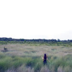
Throughout the journey, don’t just focus on reaching the summit; take time to observe and enjoy the surrounding scenery. The lush green forests, the sound of the wind rustling through the trees, and the unexpected views below are all part of the trip. Taking breaks to take photos or rest will make the journey more enjoyable and memorable.
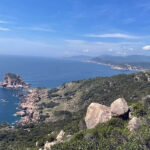
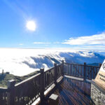
After about 2-3 hours of climbing, you will reach the summit. The highlight is the giant rock monument – the symbol of the mountain. This is an ideal spot for taking photos and admiring the panoramic view of nature.
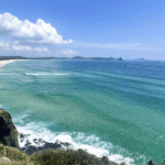
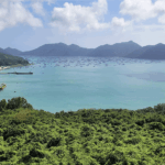
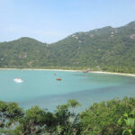
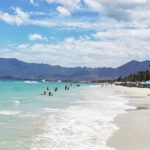
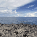
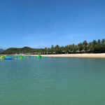
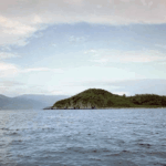
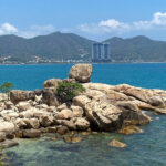
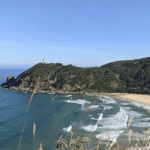
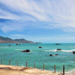
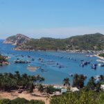
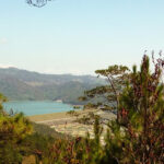
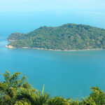
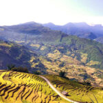
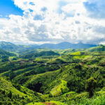
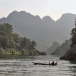
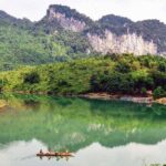
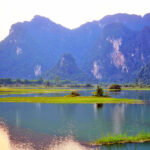
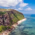
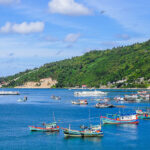
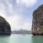
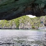
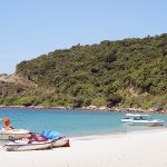
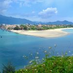
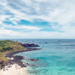
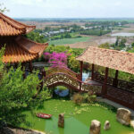
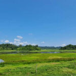
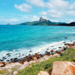
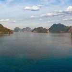
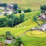
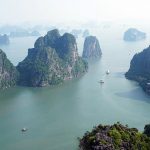
Standing on the summit of Da Bia Mountain – an ideal viewpoint in Dong Hoa town – looking east, you’ll see the beautiful Vung Ro Bay, with ships returning from the open sea bobbing on the clear blue water. To the left is Dai Lanh Cape, one of the easternmost points on the mainland of Vietnam, and further in the distance, the vast East Sea shimmers like silver. Looking south, you’ll see Van Phong Bay in Khanh Hoa province, with its sandy shores curving like a giant banyan leaf. Turning northwest, you’ll find the vast Tuy Hoa rice fields, embraced by rolling hills, dotted with bright red tiled roofs, all bathed in the vibrant green of young rice seedlings.
Every year, the local people organize a competition to conquer Da Bia Mountain on March 27th (Vietnam Sports Day), attracting a large number of participants, especially young people. They come here to explore and conquer this peak.
Useful information about Da Bia Mountain
- Location: Hoa Xuan Commune, approximately 30 km south of Tuy Hoa Ward, Dak Lak Province.
- Best for: solo; young people who love trekking.
- Entrance: Free
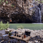
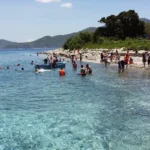
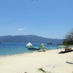
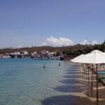
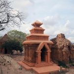
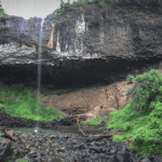
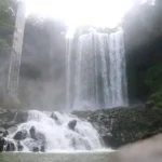
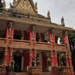
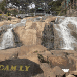
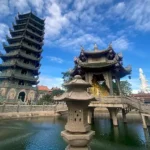
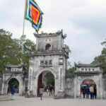
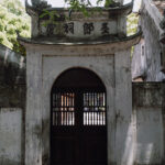
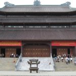
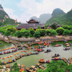
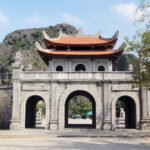
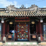
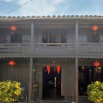
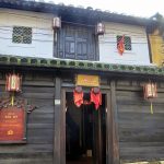
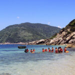
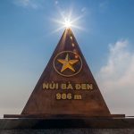
- Tourist spots nearby:
Source: collected by An
Follow us for the best deals on Vietnam package tours and visa services!